


Thanks for visiting our little home on the web!
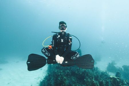
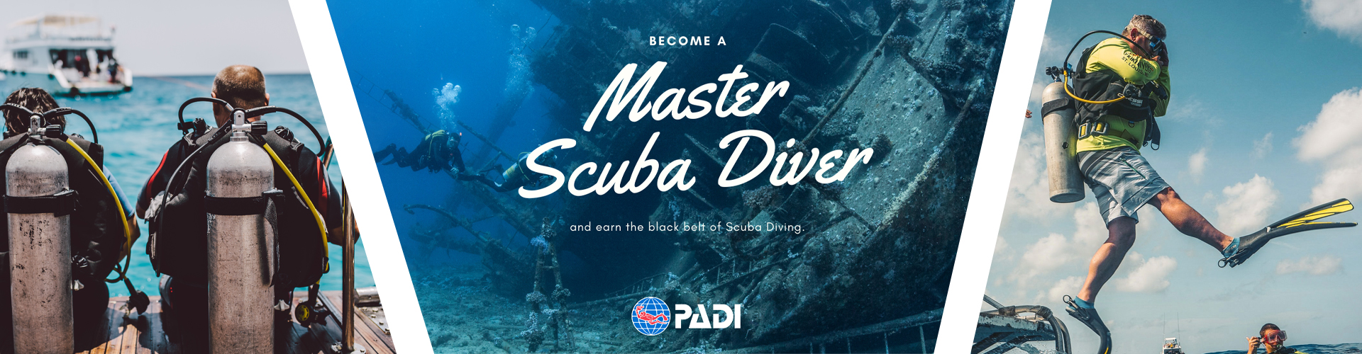
We are a proud PADI 5* IDC center, which means we thrive on quality service, safety and of course a lot of fun!

Start your PADI Adventure with us today, get diving and change your life. Our team is here to assist you step by step.
We are always adding new trips, so check back often to see the latest additions to the trip schedule.
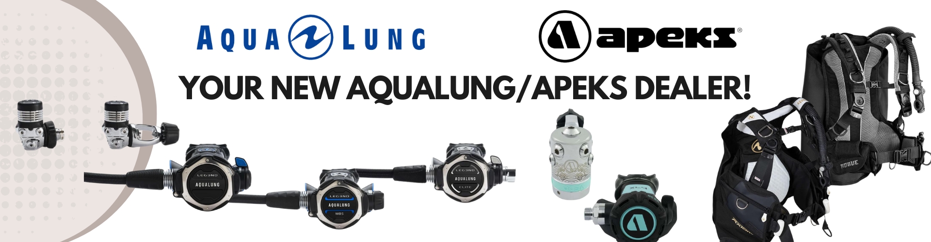
If you need new gear visit the online shop or come by one of our locations and let us help you get outfitted with the latest from top manufacturers.
| 2 Locations to Serve You! or Shop From Home! |
| Y-kiki Divers Chesterfield 13477 Olive Blvd. Chesterfield, MO 63017 P - 314-469-8722 F - 314-469-8554 |
Y-kiki Divers South County 9922 Kennerly Rd. St. Louis, MO 63128 P - 314-843-0354 |
|
| Store Hours: Mon-Fri: 10am-6pm Sat: 10am-5pm Sun: Closed |
Store Hours: Mon-Fri: 10am-6pm Sat: 10am-5pm Sun: Closed |
|
|
* Y-kiki Divers is proud to partner with Cell Phones for Soldiers. You can donate your old cell phone at either location and help a great charity. |
||
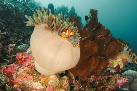
Latest Images